LithoPeaks
Mountain hikes & training, Lake District
As technology advances, phone navigation apps have made mountain hiking more accessible than ever before. While preloaded routes and real-time location tracking offer convenience, traditional map-based navigation remains essential for understanding terrain and adapting to unexpected challenges.
In 2024, there were 3,842 Mountain Rescue callouts in England and Wales, an increase of 24% since 2019. No day passed without an incident. So, what are the main causes, and could they have been prevented?
Mountain terrain can be tricky, especially in poor weather, so it's not surprising that over 880 callouts (23%) were related to slips or falls. Most mountain-goers have lost their footing at some point, making injuries an inherent risk. However, over 950 of callouts (25%) were related to a lost, disoriented, or missing person. It's not unreasonable to conclude that many of these incidents could have been prevented with basic navigation skills.
Mobile navigation simplifies the route-finding process, offering convenient guidance. In favourable conditions, following a preprogrammed route on your phone can be an effective way to navigate with ease.
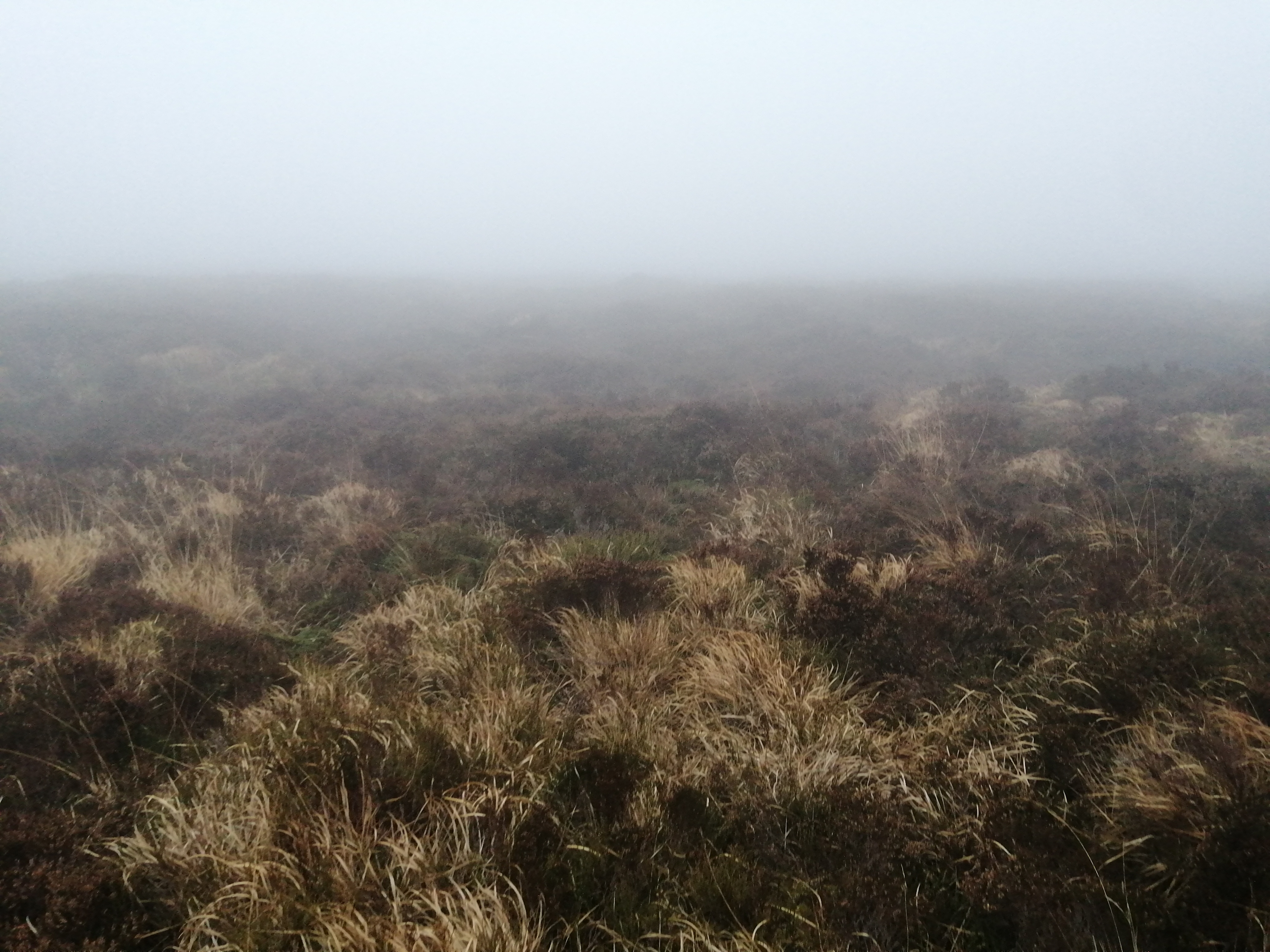
However, relying solely on this technology introduces risks that are often overlooked. Harsh weather conditions can compromise the reliability of a phone. While rain can disrupt the touchscreen functionality, cold weather can rapidly drain battery life.
The GPS that tracks the location of a smartphone can be accurate to within 5 metres, but this precision can deteriorate due to thick cloud cover, heavy precipitation, signal interference, or topography, potentially misleading the user. In extreme cases, errors may exceed 50 metres, which can be critical when navigating in poor visibility or confusing terrain.
Frequent phone checks reduce awareness of surroundings, increasing the risk of accidents, especially in poor conditions or complex landscapes where focus is crucial. Moreover, losing or damaging a phone, battery depletion, signal failure, or technical malfunctions can leave hikers stranded or disoriented without a reliable backup, heightening stress and impairing decision-making.
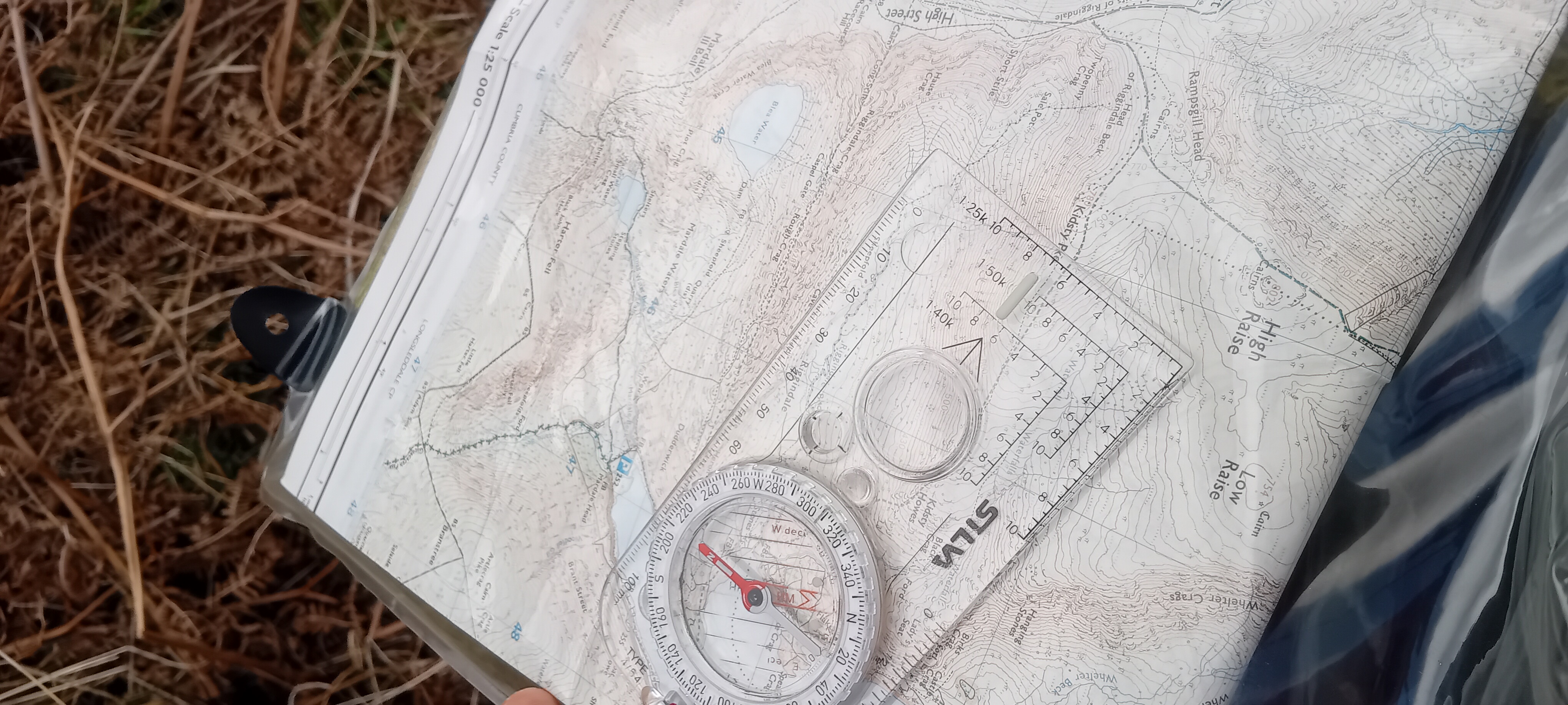
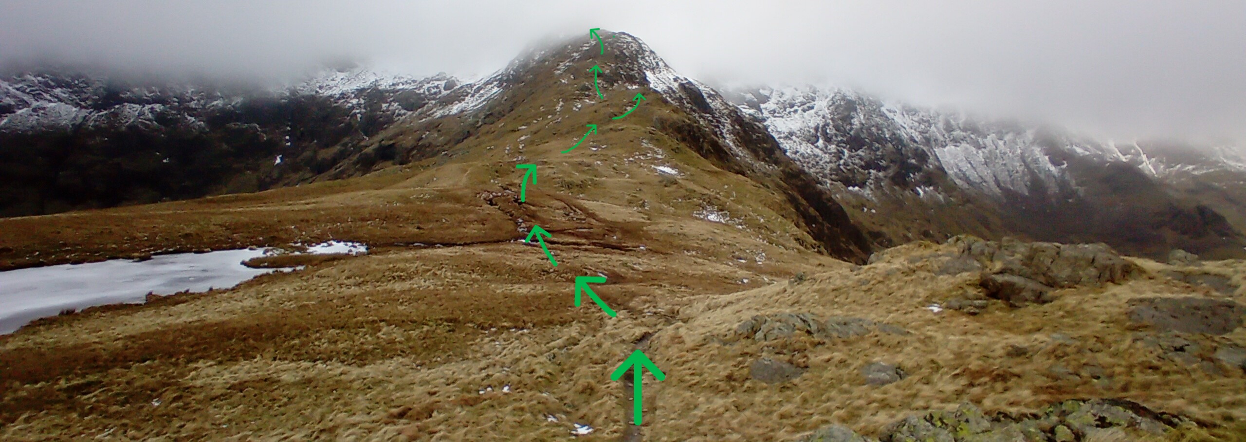
Traditional navigation using a paper map and compass requires several skills, including accurate distance measurement, proficient compass use, map reading, route planning, and terrain awareness. While developing these skills takes time and practice, they are invaluable.
Taking a mountain skills or navigation course offers an affordable and structured way for hikers to build confidence in these techniques. Learning these skills ensures hikers can handle unexpected situations when technology fails, minimising risk and promoting self-reliance.

A balanced approach to navigation combines traditional skills with modern technology. Mobile apps enhance route planning and provide real-time data, while map-and-compass skills ensure self-sufficiency when devices fail.
By integrating both methods and following best practices, hikers can boost confidence and adaptability, minimising risks in challenging or unexpected situations. With a responsible approach, they can reduce preventable incidents, ensuring safer and more enjoyable outdoor adventures.